Welcome to Haslemere
CLICK FOR 2021 CENSUS DATAIntroduction
The town of Haslemere () and the villages of Shottermill and Grayswood are in south west Surrey, England, around 39 mi (62 km) south west of London. Together with the settlements of Hindhead and Beacon Hill, they comprise the civil parish of Haslemere in the Borough of Waverley. The tripoint between the counties of Surrey, Hampshire and West Sussex is at the west end of Shottermill. Much of the civil parish is in the catchment area of the south branch of the River Wey, which rises on Blackdown in West Sussex. The urban areas of Haslemere and Shottermill are concentrated along the valleys of the young river and its tributaries, and many of the local roads are narrow and steep. The National Trust is a major landowner in the civil parish and its properties include Swan Barn Farm. The Surrey Hills Area of Outstanding Natural Beauty is to the north of the town and the South Downs National Park is to the south. Haslemere is thought to have originated as a planned town in the 12th century and was awarded a market charter in 1221. By the early 16th century, it had become a Parliamentary borough and was represented by two MPs in the House of Commons until 1832. The town began to grow in the second half of the 19th century, following the opening of the London to Portsmouth railway line in 1859. In late-Victorian times, it became a centre for the Arts and Crafts movement and the International Dolmetsch Early Music Festival was founded in 1925. Haslemere became an Urban District in 1913, but under the Local Government Act 1972, its status was reduced to a civil parish with a town council. Shottermill grew up as a hamlet near to one of the watermills on the River Wey in the 16th century. The settlement began to expand in the 1880s and joined the Haslemere Urban District in 1933. Until the end of the 19th century, Grayswood was a small farming community, but became an ecclesiastical parish in 1901.
Parish Information
Parish statistics
Area |
2,325 hectares |
|---|---|
Population |
17,280 (2021) |
Density |
743 people/km2 |
Mean age |
42.4 |
Ward |
Haslemere Critchmere and Shottermill |
District |
Waverley |
Postcodes |
GU10, GU26, GU27 |
ONS ID |
E04009619 |
Council
Contact details for Haslemere Parish Council, including current councillors, precept data and election results.
Education
View educational establishments in Haslemere Parish. Data includes OFSTED rating and current appointed governors.
Business
Business directory listing local businesses operating within Haslemere Parish.
Planning
View recent planning applications submitted for Haslemere Parish.
Property
Price paid data for all property sold in Haslemere Parish since 2018. Includes average prices for each property type.
Heritage
Local heritage sites, historic churches, heritage pubs plus local heritage initiatives for Haslemere Parish.
Local News

Hosted and licensed by Haslemere Herald
Food hygiene ratings handed to two Waverley establishments
Published: 19th Apr 2024

Hosted and licensed by BBC.com
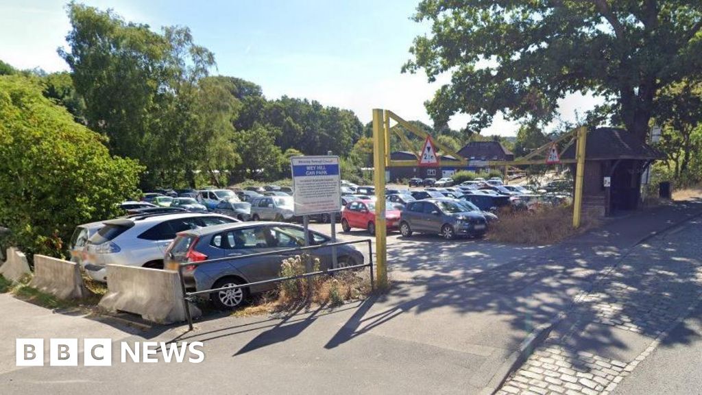
Haslemere: Plans for £21m town revamp move forward
Published: 3rd Apr 2024

Hosted and licensed by Haslemere Herald
Road closures: two for Waverley drivers over the next fortnight
Published: 22nd Apr 2024